Taking to the sky with state-of-the-art technology
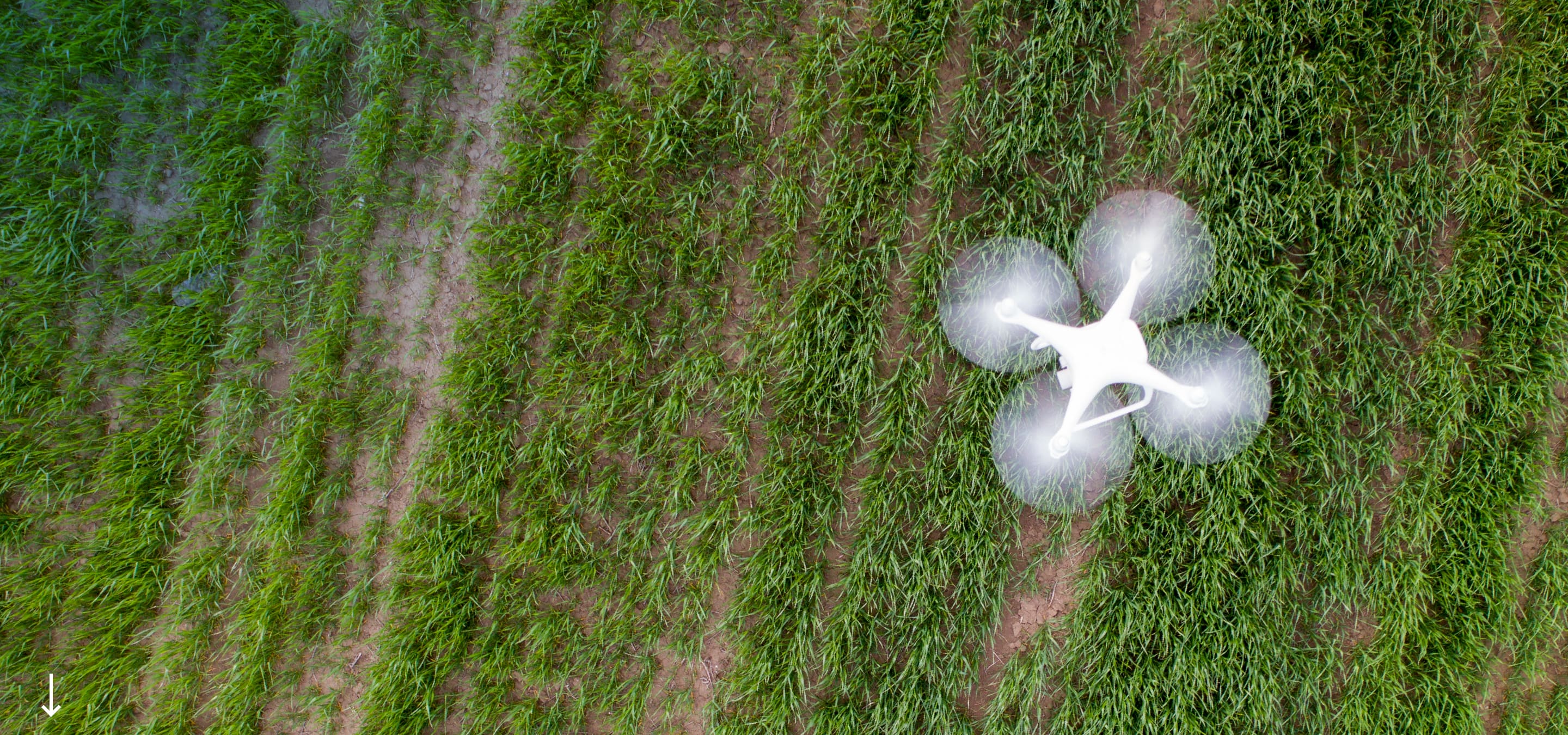
Drone surveying is the latest cutting-edge surveying technology and allows a cost-effective and time-efficient method to survey large areas of land by air. We operate a DJI Matrice 300 RTK drone.
Terramark has invested in the state-of-the-art Zenmuse L1 LiDAR and P1 Photogrammetry sensors. This operates by shooting up to 240,000 laser signals per second at the surface of interest and measuring the intensity of the light signal returned to build a 3D image of the surface. This technology reduces many challenges when working in environments such as measuring ground surfaces under tree canopies, in low-light or even dark conditions, or in foggy or cloudy areas to give comprehensive and accurate results. The photogrammetry sensor features a gimbal-stabilised, 45MP full-frame sensor with a mechanical shutter for unparalleled aerial imagery suitable for use in creating 2d and 3d models.
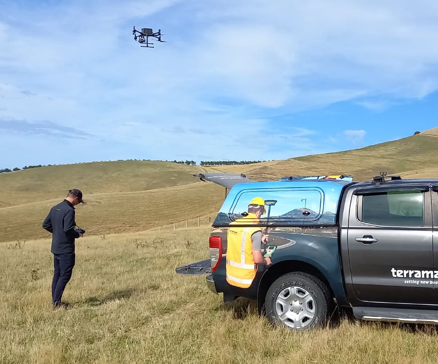
This technology reduces many challenges when working in environments such as measuring ground surfaces under tree canopies, in low-light or even dark conditions, or in foggy or cloudy areas to give comprehensive and accurate results. The photogrammetry sensor features a gimbal-stabilised, 45MP full-frame sensor with a mechanical shutter for unparalleled aerial imagery suitable for use in creating 2d and 3d models.
Common LiDAR services and outputs include:
- Creating Digital Elevation Models (DEMs) of true ground surfaces within highly vegetated areas. This can be used to determine ground slope and assist in flood modelling
- Scanning multi-storey buildings during construction for quality control (as-built surveys)
- Classify land use (determine vegetation height across large areas), and determine building coverage of land
Common photogrammetry services and outputs include:
- Capture up-to-date aerial imagery for use in conjunction with other survey data
- Creation of 2D and 3D models of ground surfaces and structures
- Inspection Surveys on inaccessible areas (dams, multi-storey buildings, cliff faces, landslips)