Land Development Services Include:
Topographical Data Capture
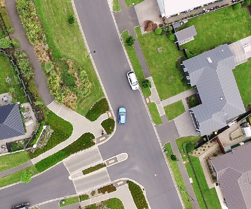
The mass data collection of site features by the survey is an essential prerequisite to the design of most construction projects. A topographical survey creates a 3D model of the ground and details existing features.CONTACT US
Design of Roading and Services
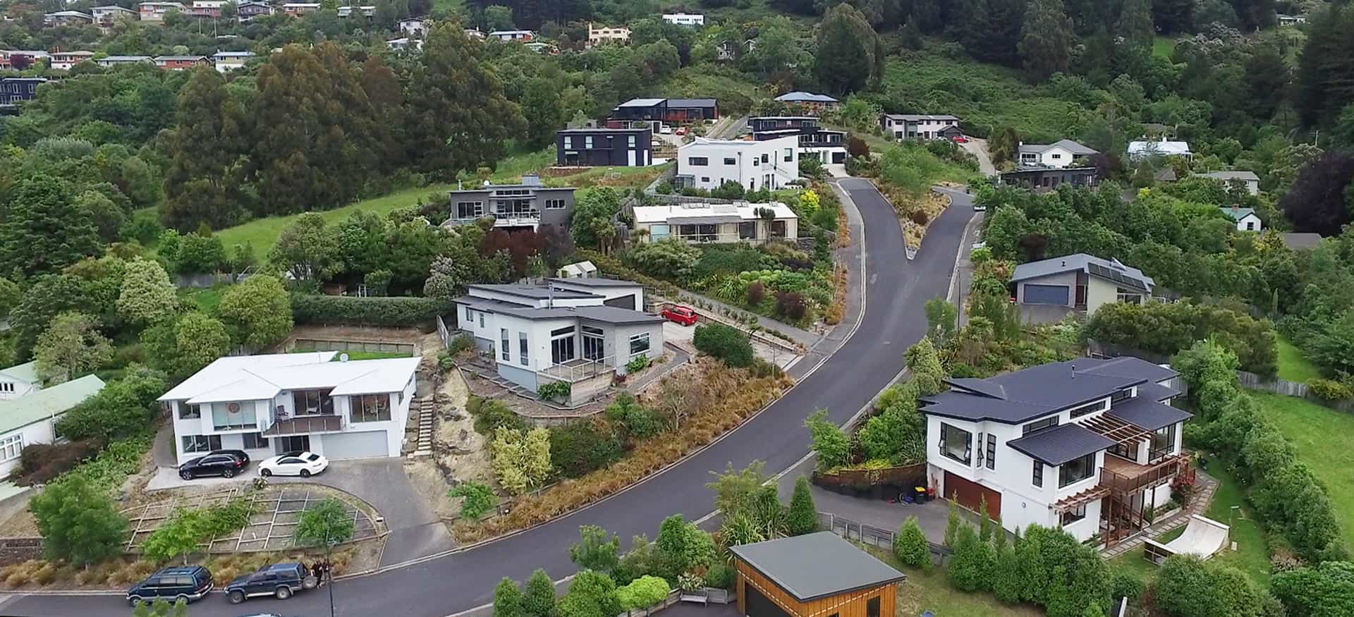
Our surveyors are specifically trained as subdivisional civil engineers, and routinely undertake the design of new roads and sewage, stormwater and water supply services within multi-lot subdivisions. We work closely with geotechnical and structural engineers to pull all design elements together. CONTACT US
Preparation of Construction Plans and Specifications
Once the design process is complete, we prepare the plans and specifications for the construction of the roading and services.CONTACT US
Liaison with Council to obtain Construction Approvals
The construction plan and specifications need to have the approval of various departments in the Council and some elements require building consent. Our team is familiar with the processes and will apply for the department approvals and building consent on your behalf.CONTACT US
Contract Tendering and Administration
Most larger construction proposals are administered via tender and contract processes. Our surveyors are skilled and experienced in preparing all the construction contracts and tender documentation and then managing this tender process. Once a contract has been let, we act as Engineers to the Contract and administer the contract on your behalf.CONTACT US
Construction Set-Out and As-built Surveys
Many construction contracts require a Licensed Cadastral Surveyor or Registered Professional Surveyor to accurately set out new roading, services or buildings before construction commences. As-built surveys and plans are also required to verify and record the completion of the works in accordance with Council requirements and the contract specification. CONTACT US

